It doesn’t matter if you are a professional in the construction and land surveillance field, or just someone who is curious, the best property lines apps in the following article will be a great help to you. See the existing lines or create new ones!
And for the management of all of your maps, we highly recommend checking out an article about the best overlay maps – the problem is solved easily!
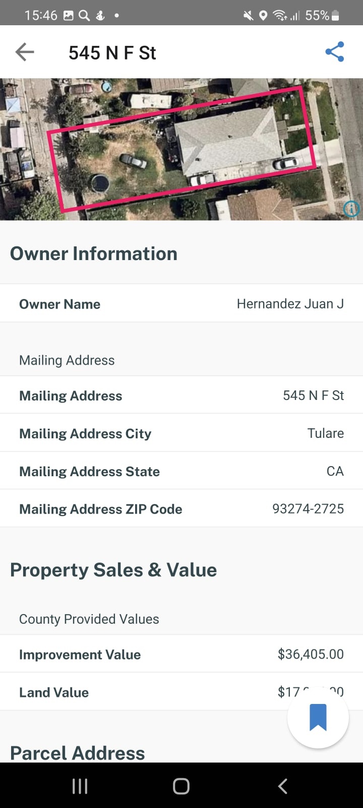
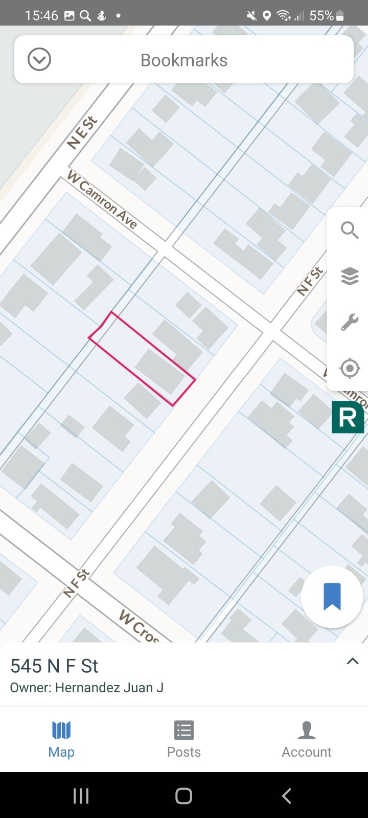
LandGlide
LandGlide is one of the leaders in the market of property line apps. It has an excellent interface design and it allows you access to the key power cell data anywhere.
You can find any property on the map and view its details right away. What is more, one of the prominent features of this app is that it allows you to search for property lines and properties by owner parcel numbers or addresses.
Moving on, you can save any data to your favorites. In addition to that you can add notes, and, which is more important, you can organize all the information, systemize it and then export it into various formats.
Another great feature of the LandGlide is that it’s a cross-platform app which means that you have an access to it from all devices.
In total here you will find more than 156 million parcel records and the app covers more than 3,000 countries which means more than 99% of the US population is included in the data of this app.
In total, in the app, you will discover such parcel data, as:
- Name of the property owner
- Acreage
- Square footage
- Property address
- The date of transfer
- Location of the school districts
- The sale price
- General description of the building
In the beginning, LandGlide comes with a free-trial period, however, if you want to use the app on the regular basis, you will have to pay for the subscription.
Downloads: 500 000+
Customers rating:  (4.2 / 5)

You may also like: 7 Fun Mock Location Apps Android
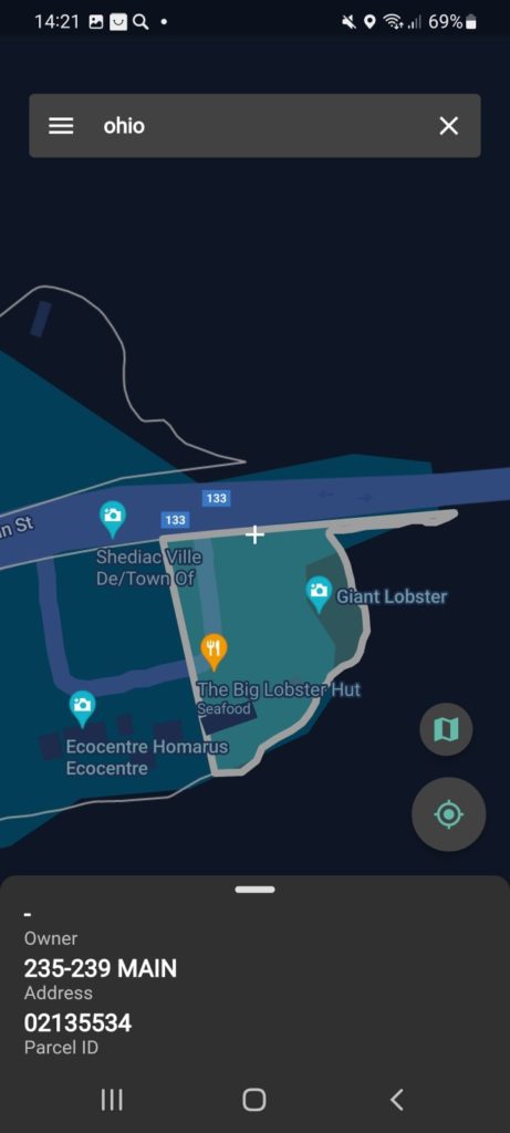
Regrid Parcels & Property Maps
Here we have another great app to view the property lines and your property maps in general.
This app is incredibly convenient in usage in fact we are confused about which I would like better the first one or this one. The installation is super fast and no registration is needed in the app.
Moreover, when you just open Regrid Parcels & Property Maps, you receive a quick guide on how you should operate the app. You can skip the guide if you want.
Another advantage of Reegrid Parcels & Property Maps is that its maps are super easy to comprehend, and the navigation in the app and its user interface design is simply excellent.
You just find the area that you are interested in, then zoom in on the place that you want to observe, and just click on the object on the map. After that, the app will open all the information about this place. It will be represented on a separate page with all the details.
For example, you will see the name of the owner the size of the land, the full cost of the property, the full cost of the land, the ZIP code, and many other aspects that you will better discover in this app on your own.
In addition to that, you can save all the information you need to your favorites. All in all, this app is suitable for everyone professionals and non-professionals and it’s, once again, so incredibly easy to use.
Downloads: 100 000+
Customers rating:  (3.7 / 5)

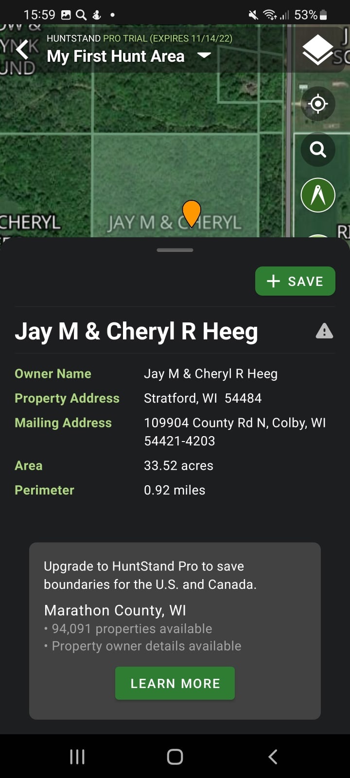
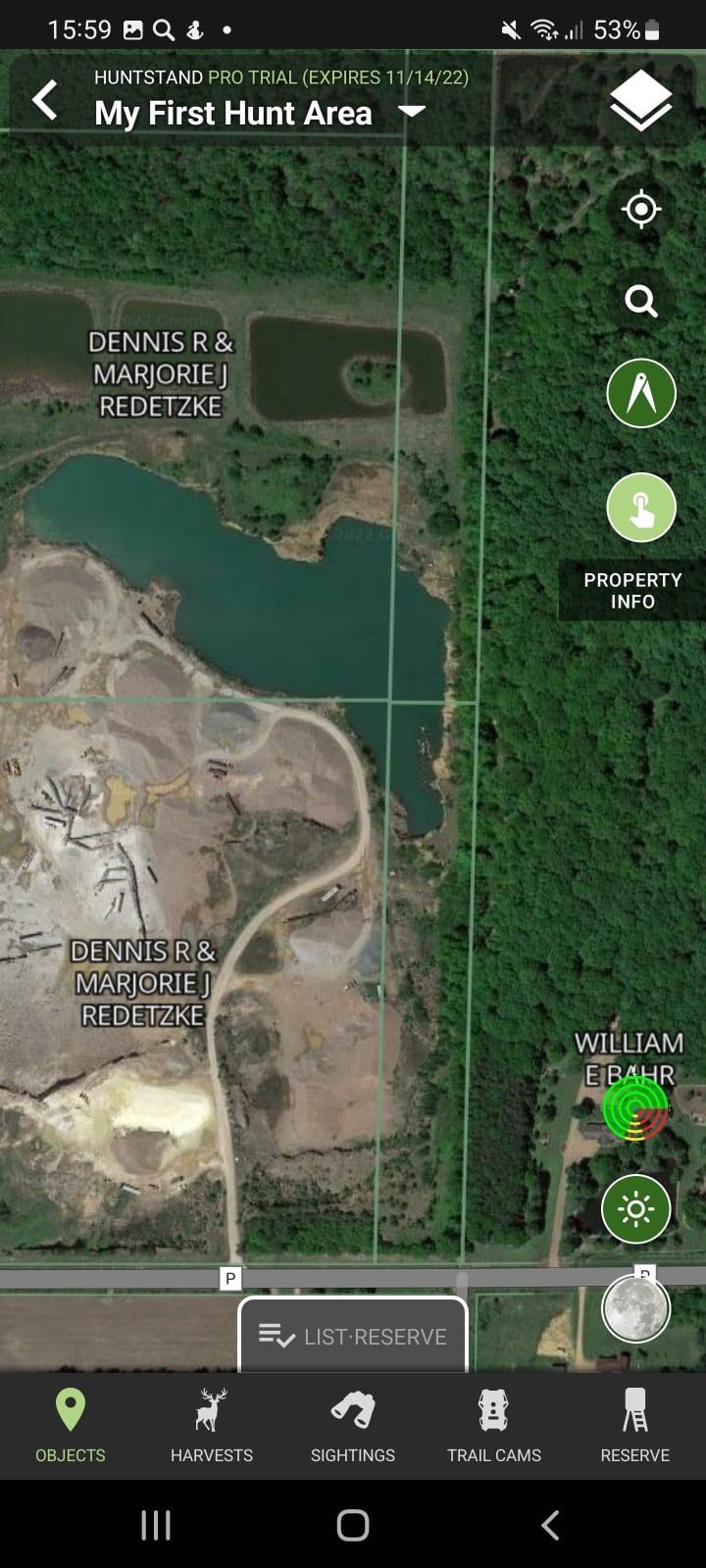
HuntStand: GPS Hunting Tools
It’s no secret that apps with property lines are especially essential to those who go hunting. Therefore this is one of the best apps in this niche that includes a section about property lines.
The app synchronizes with Google Maps, therefore, it uses the photos by Google, and even though the maps here look a little bit worse and more pixelized than in the previous apps it’s still easy to navigate here and it’s pleasant to use generally.
Another aspect that we didn’t really like when we just open the app is the fact that we were forced to create an account. But after that you can fully use HuntStand however not all the features will be available in the free version.
Well, enough about the other features – let’s see what we have in the maps section. So you just find the area where you want to hunt – zoom in on these spots and just click on the objects and HuntStand will show you the property lines. Everything is feasible here.
And just like in the previous apps along with the property lines you will be able to see the name of the owner, the ZIP code, the size of the land, etc. You can save places so you don’t forget about those property lines and you just do useful marks for your hunting.
Downloads: 1 000 000+
Customers rating:  (3.9 / 5)
You may also like: 7 Best GPX Tracker Apps for Android
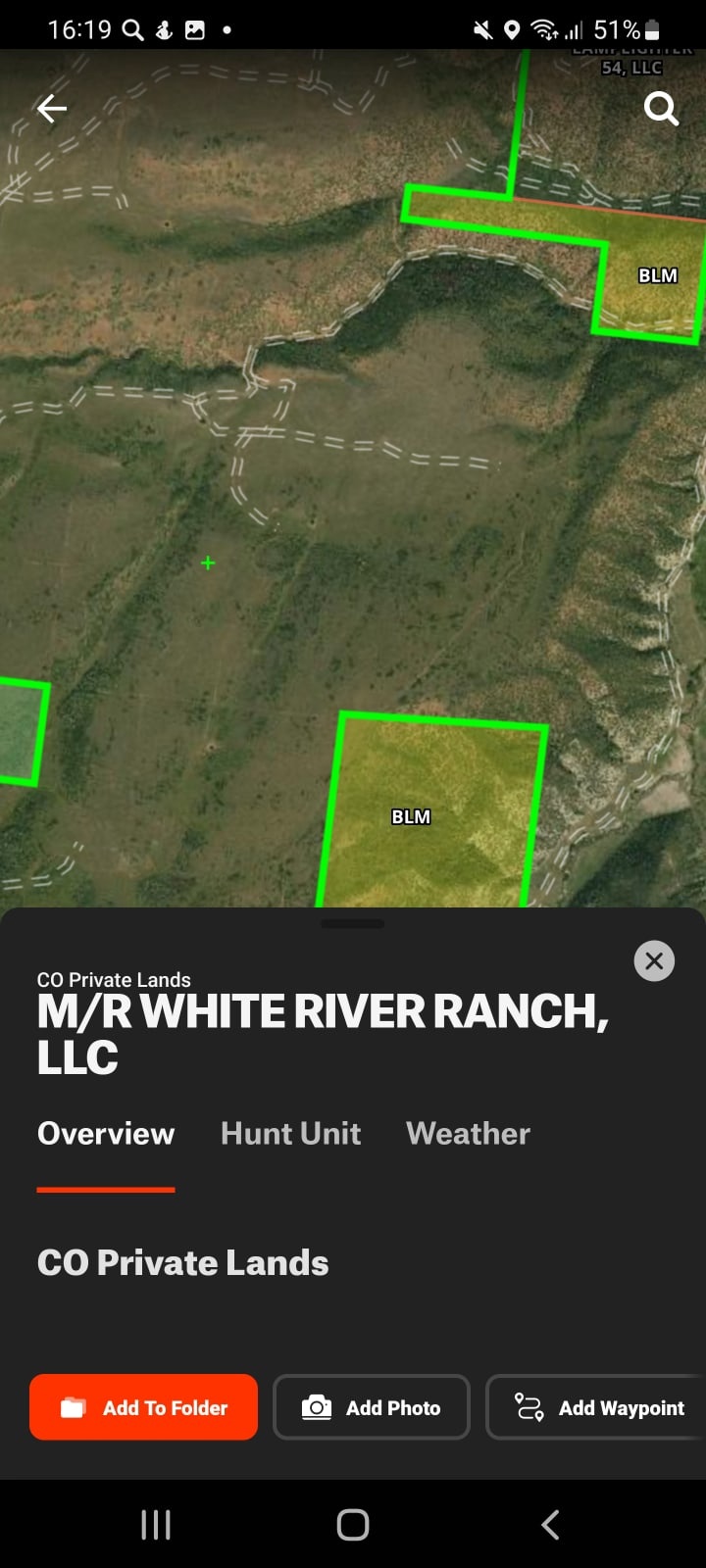
onX Hunt: GPS Hunting Maps
Despite the fact that this is one of the most popular hunting apps it turned out to be a little bit tricky to use.
First of all, you cannot just open the app and use it, firstly you have to create your account then read all the instructions which are completely irrelevant to its functionality of it, then watch another advertisement for a free trial or something like that.
Only after all of that you are ready to use the onX Hunt app. Obviously, this is a hunting app, and the main purpose of it is to introduce you to the property lines, so you don’t break into anywhere.
And when it comes to the property lines, everything seems good and fine working. You just zoom in on the places, and the app automatically finds your GPS location and shows you what is around you.
It shows you all the property lines, you can also click on the map and view places, etc. Another disadvantage of onX Hunt that we noticed, is that the information about a certain property takes so long to upload.
Moreover, the maps here seem to be synchronized with Google Maps, however, it felt like they didn’t reflect the full information about the places.
Therefore, we can conclude, that the app it’s just good for knowing the property lines in general, but when you want to go into more specific details, such as property size, the name of the owner, the price of the land, and so on, this application is not your best choice.

Downloads: 1 000 000+
Customers rating: unknown
Hunting Gps Maps w/ Property Lines
To be honest, we didn’t notice this app at first. And as it turned out later, it actually contains nothing special. Even though Hunting GPS is super fast to download and it seems to be easy to use, its obsolete user interface makes it hard to understand everything as you start.
When you just open the app it suggests you set the list of states that you want to observe. However, we didn’t see how it makes difference later when you actually start using the app.
Maybe, this feature will be useful in offline use when you can download the maps, and therefore, see all the property lines even when you are offline.
Basically, this is the main advantage of this app. You can use it offline and all the property lines are already highlighted on the maps.
However, unlike in all the previous apps, it’s impossible here to see the owner of the land or any information about this particular piece of land.
All the factors mentioned above make Hunting GPS a weak competitor to the previous apps and we would recommend only using it in the case that you don’t have an Internet signal and you need to use the offline maps.
Downloads: 100 000+
Customers rating: unknown
You may also like: 7 Best Android Apps for Kayaking in USA
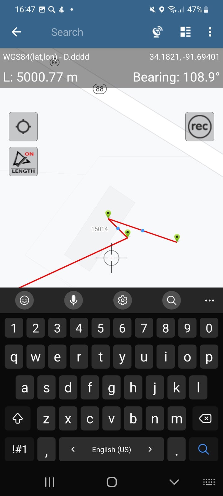
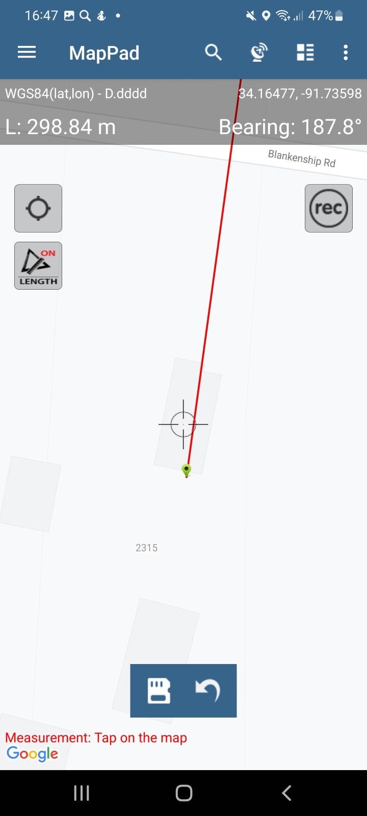
MapPad GPS Land Surveys
We thought that including the MapPad app on this list would be a good idea, even though it’s not the best app in terms of reviewing the property lines.
It’s an extremely multifunctional tool, however, when it comes to the latter, it provides quite plain and basic property lines that you can find on any map.
In the case of MapPad, all the territories are highlighted with the regular lines and you need to look really meticulously at it in order to understand that this is actually a property line.
On the other hand, you can affect the search by a certain address and therefore, find a certain property. But it requires knowledge of this address.
At the same time, you can draw the lines on the map on your own, and that’s the advantage, even though, we’re not sure that you actually need it. That’s why we placed the cool app MapPad in the last position because its abilities in the property lining are poor.
Downloads: 500 000+
Customers rating:  (4 / 5)